Log in
All resources
Create a design
Tools
308,624 Free Images of Pages With Maps
cc-zero
quality images
quality images missing sdc depicts
quality images by jebulon
architecture
taken with sony ilce-7
quality images by wilfredor
valued images sorted by promotion date
travel
taken with nikon d300
self-published work
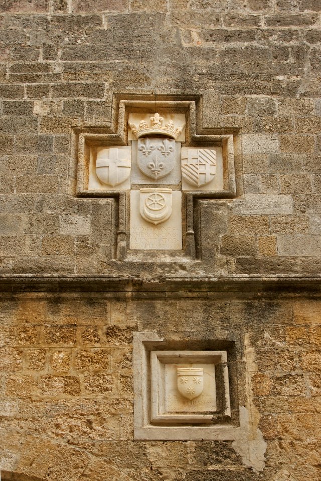
crowns in crest
self-published work
pages with maps
travel
city
architecture
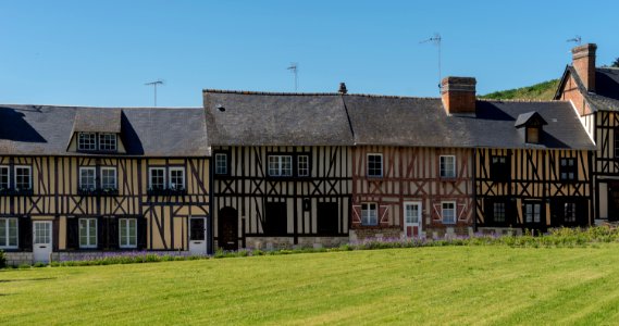
village
architecture
travel
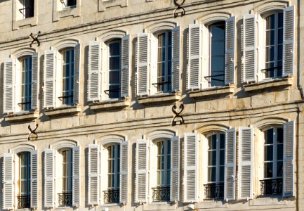
architecture
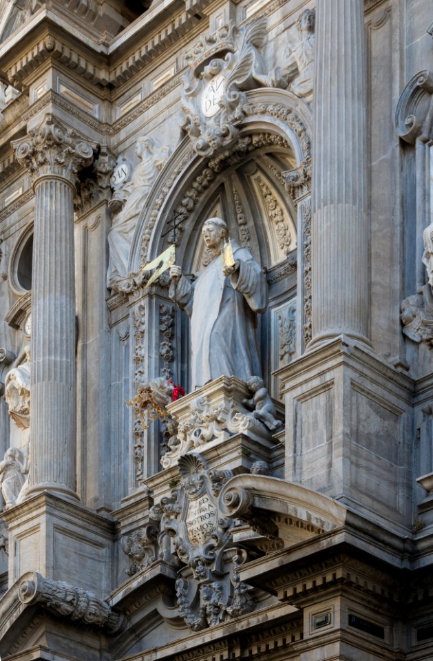
facade
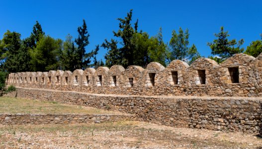
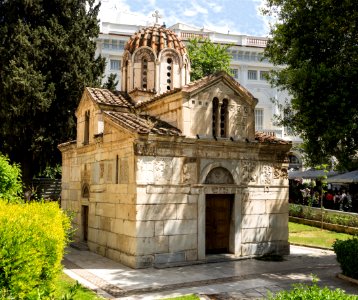
tomb of the unknown soldier in athens
presidential guard (greece)
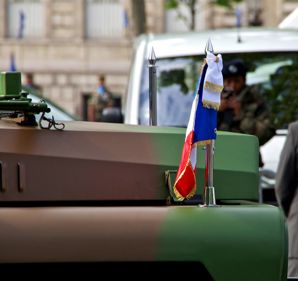
vehicle
pennant
self-published work
pages with maps
travel
city
self-published work
architecture
landscape
travel
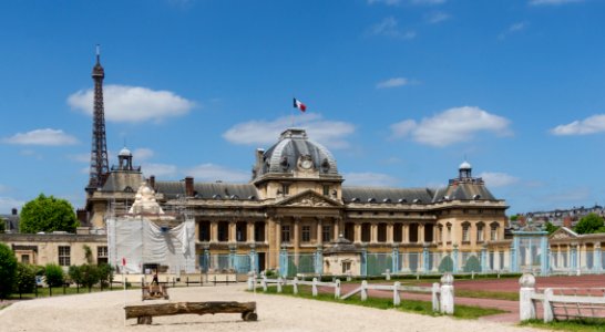
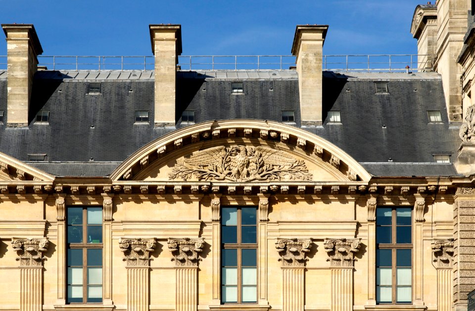
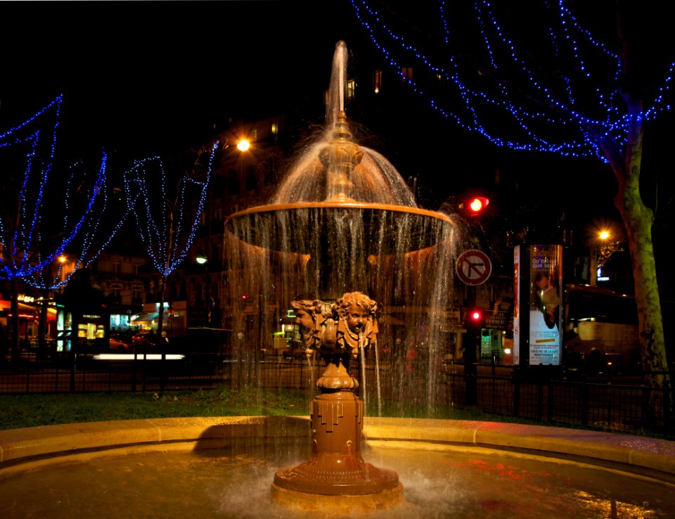
june 2015 in paris
architecture
self-published work
architecture
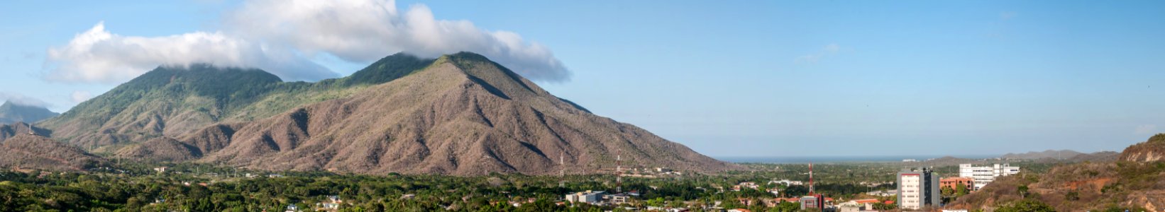
laguna de la restinga national park
self-published work
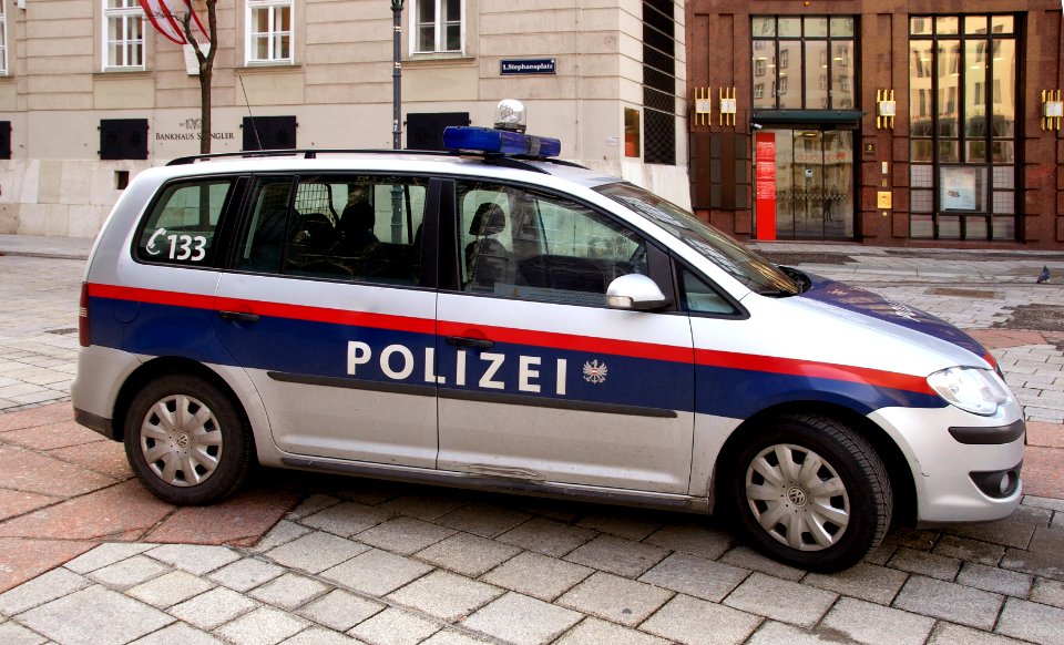
vehicle
car
wildlife
animals
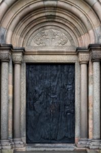
architecture
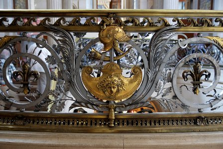
bronze doors
landscape
water
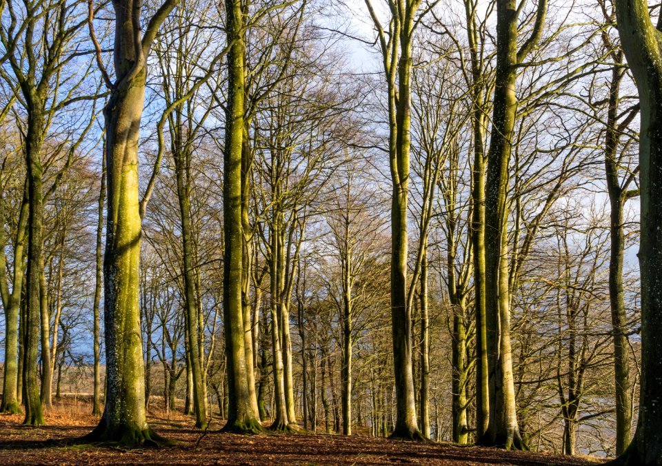
forest
tree
architecture
facade
architecture
roof
village
grass
march 2013 venezuela photographs
self-published work
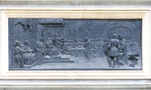
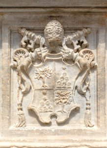
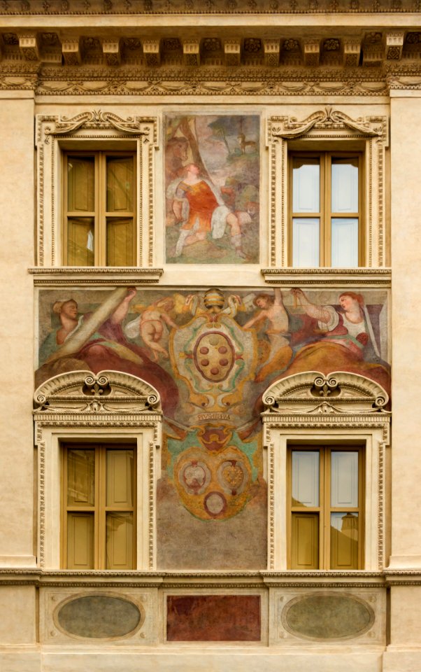
reliefs of coats of arms in rome
self-published work
self-published work
pages with maps
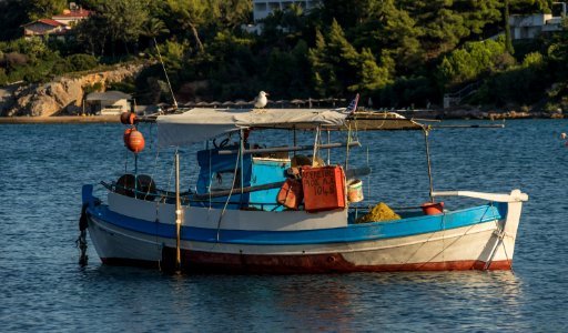
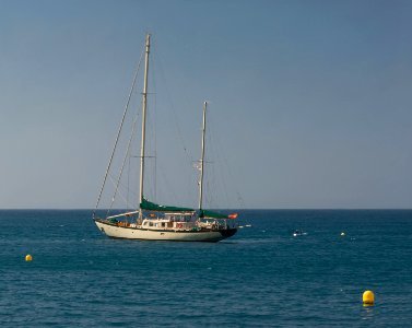
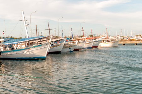
boats in margarita island
boat
self-published work
architecture
architecture
travel
self-published work
pages with maps
travel
city
self-published work
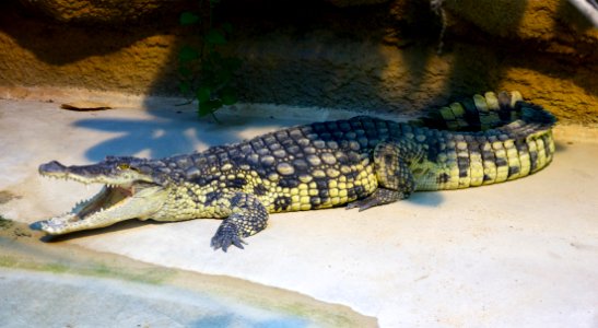
reptiles
self-published work
gold
self-published work
pages with maps
self-published work
architecture
landscape
mountain
architecture
exterior
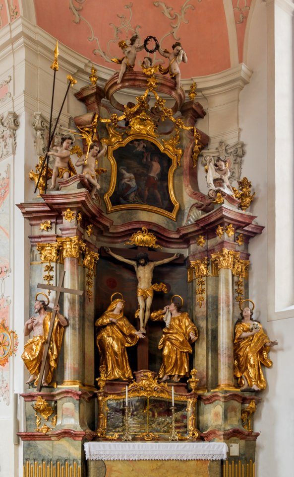
crucifixion of christ
gold
forest
tree
architecture
facade
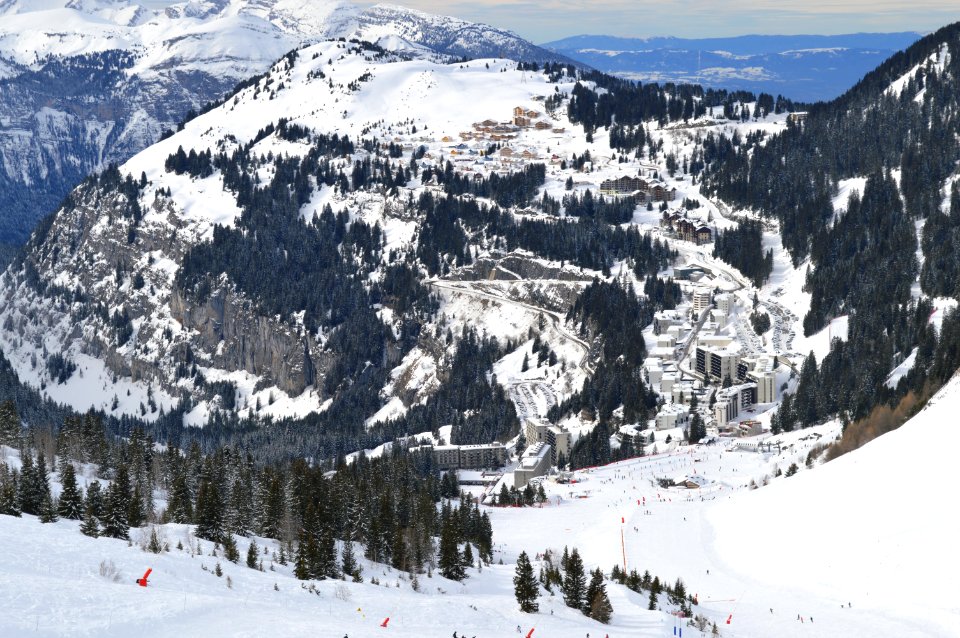
landscape
winter
water
fish
architecture
town
architecture
perspective
2011 in dordogne
architecture
objects with black background
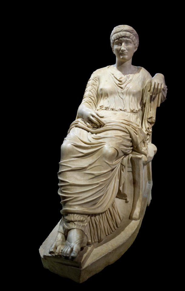
crossed legs
self-published work
water droplet
architecture
travel
august 2012 in andalusia
2012 in loja
self-published work
architecture
architecture
gold
landscape
rock
self-published work
pages with maps
light
night
village
travel
architecture
facade
travel
summer
water
sea
self-published work
pages with maps
self-published work
message
landscape
travel
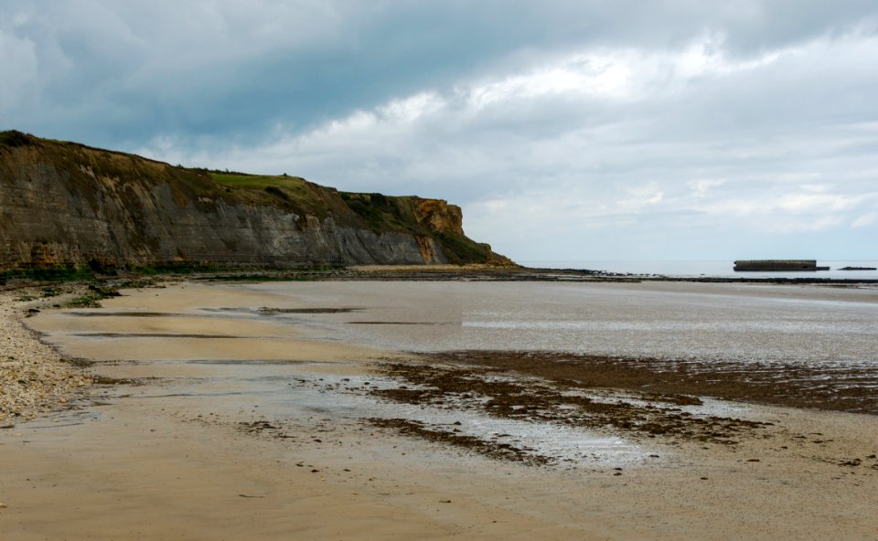
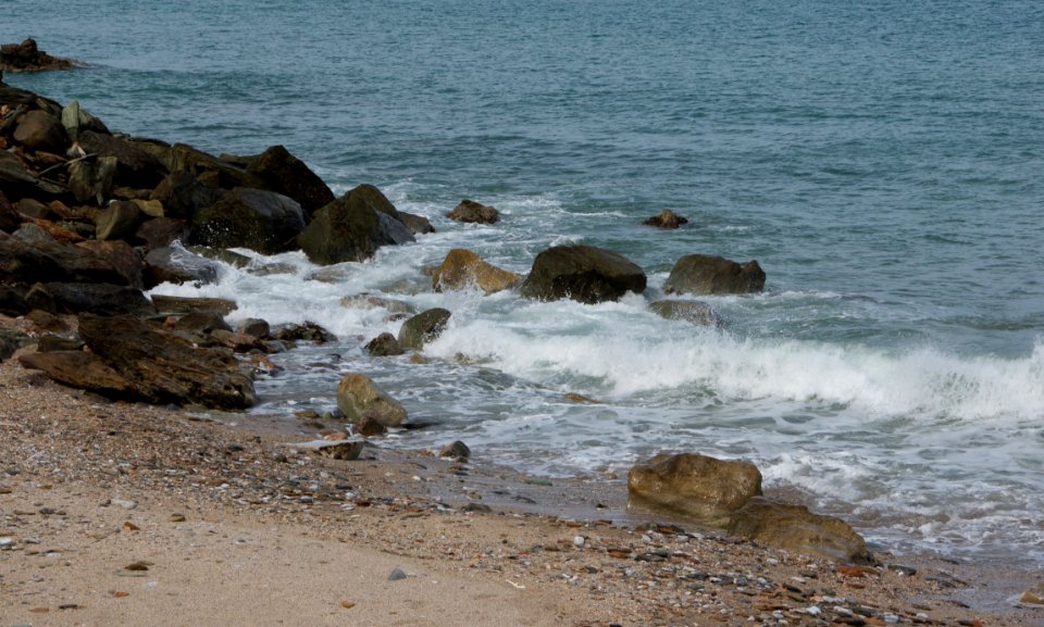
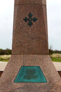
utah beach
d-day
presidential guard (greece)
battledress
self-published work
pages with maps
self-published work
pages with maps
self-published work
pages with maps
winter
tree
travel
city
self-published work
leaves
self-published work
pages with maps
architecture
city
forest
green
architecture
skyline
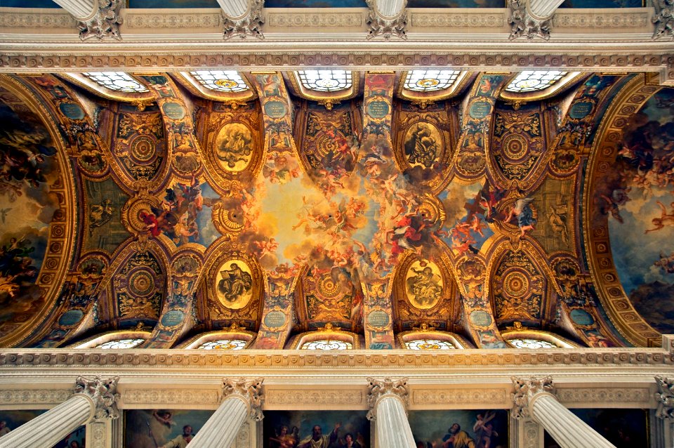
chapel of the palace of versailles, ceiling
paintings of god the father
self-published work
pages with maps
self-published work
pages with maps
self-published work
gold
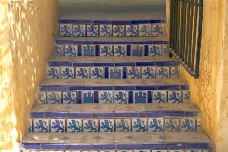
wooden doors in andalusia
architecture
architecture
cherub
vehicle
car
self-published work
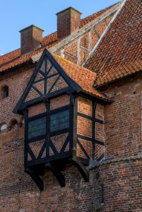
nyborg castle
architecture
facade
water
boat
self-published work
pages with maps
architecture
facade
self-published work
pages with maps
self-published work
pages with maps
water
boat
architecture
facade
self-published work
architecture
self-published work
architecture
architecture
facade
architecture
facade
landscape
sea
victoria harbour
water
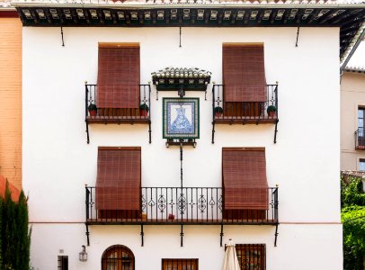
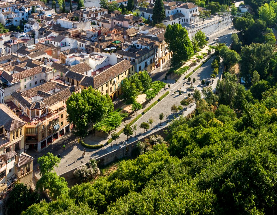
the alhambra photographed in 2014
august 2014 in granada
self-published work
architecture
self-published work
pages with maps
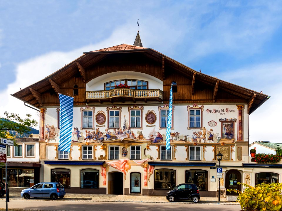
oberammergau photographs taken on 2013-10-20
self-published work
self-published work
2012 in andalusia
2201 - 2300 of 308,624
Next page
/ 3087